|
|
Paddle the New Great Glen Canoe Trail in Scotland
By Tamsin Venn. Photos by David Eden.
We were in Scotland in August on a reconnaissance trip to check out paddling options. While taking our required tourist photo of Loch Ness at Point Augustus in the town of Fort Augustus, we ran into several canoeists and kayakers paddling what is known as the Great Glen Canoe Trail. Point Augustus is a peninsula formed by the River Oich tumbling into Loch Ness on one side and four locks of the Caledonian Canal on the other.
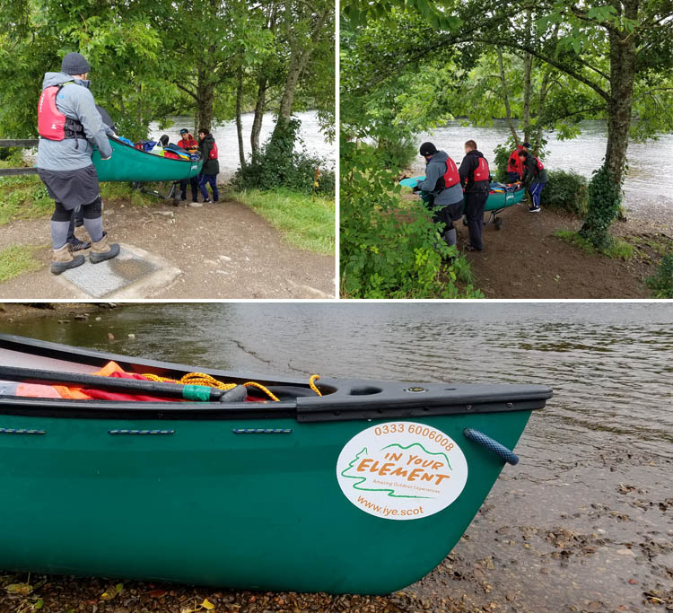
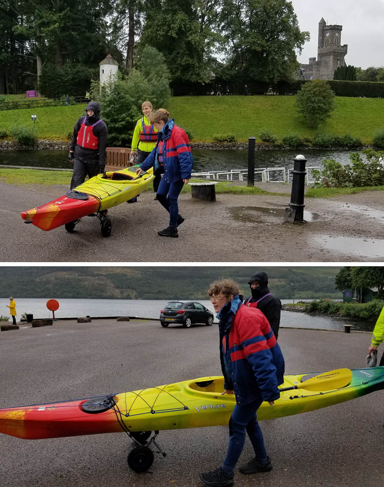
This trail follows what is known as the Great Glen, an ancient fault line in the Highlands through which the Caledonian canal runs almost directly from southwest to northeast. Most people paddle from Fort William in the west to Inverness in the east with the prevailing wind behind you and take three to five days. These lads were doing just that, running their rented canoes along the portage from the River Oich to the Loch. At the loch-side launch, they were joined by a group of lasses in kayaks for the remainder of the trip.
|
|

The lads finish their carry. Much faster and less red tape than waiting to drop through four locks.

The women were not overdressed for this August day in Scotland. In less the an hour, they would be.
|
|
|
A recent development, the trail opened in 2010 and was an instant hit with about 4,000 paddlers taking on Scotland’s first formal canoe trail that first year.
The canoe trail takes you from coast to coast through natural lochs – Loch Lochy (12 miles), Loch Oich, Loch Ness (22 miles), and Loch Dochfour, all connected by the 22 miles of man-made Caledonian Canal.
One reason for the popularity is the location in the scenic mountains of the Highlands (including the highest peak, Ben Nevis) plus the engineering feat that made the canal possible. In the early 19th century, Scottish engineer Thomas Telford, designed the canal so ships could avoid going around Cape Wrath (the name speaks for itself). He strung together 29 locks, four aqueducts, and ten bridges.
The website warns you to be prepared. You’ve got open water paddling on Loch Ness and Lochy (they are long and narrow and you can hug the shore), and waves can reach as high as 13 feet. Although this may seem unbelieveable for lakes never much more than 1.6 miles wide, we can attest that the winds in the Highlands can be amazingly fierce, For experienced kayakers, the trail website has resources to help you plan your route, including maps, safety advice, suggestions for accommodations, even places where you can pre-order fresh food supplies. It also provides the form to apply for a canal license if you need it (not sure what that involves), and lists local providers who offer guided trips and equipment and take care of the shuttling.
|
|

|
|
|
Accommodations range from hotels to commercial camping sites. “Wild” camping is not permitted on the canal banks as it is a scheduled ancient monument, but the trail has designated some informal campsites along the banks, and wild camping is possible on the shores of the lochs. You are asked to follow the Scottish Outdoor Access Code.
The code provides detailed guidance on the use of the ancient tradition of universal access to land in Scotland, which includes inland water, for recreation, education, and going from place to place as long as you act responsibly.
Plan, stay safe, enjoy, and leave no trace, the trail literature says. For more information, GreatGlenCanoeTrail.info.
|
| | |
